Roads and Commuting
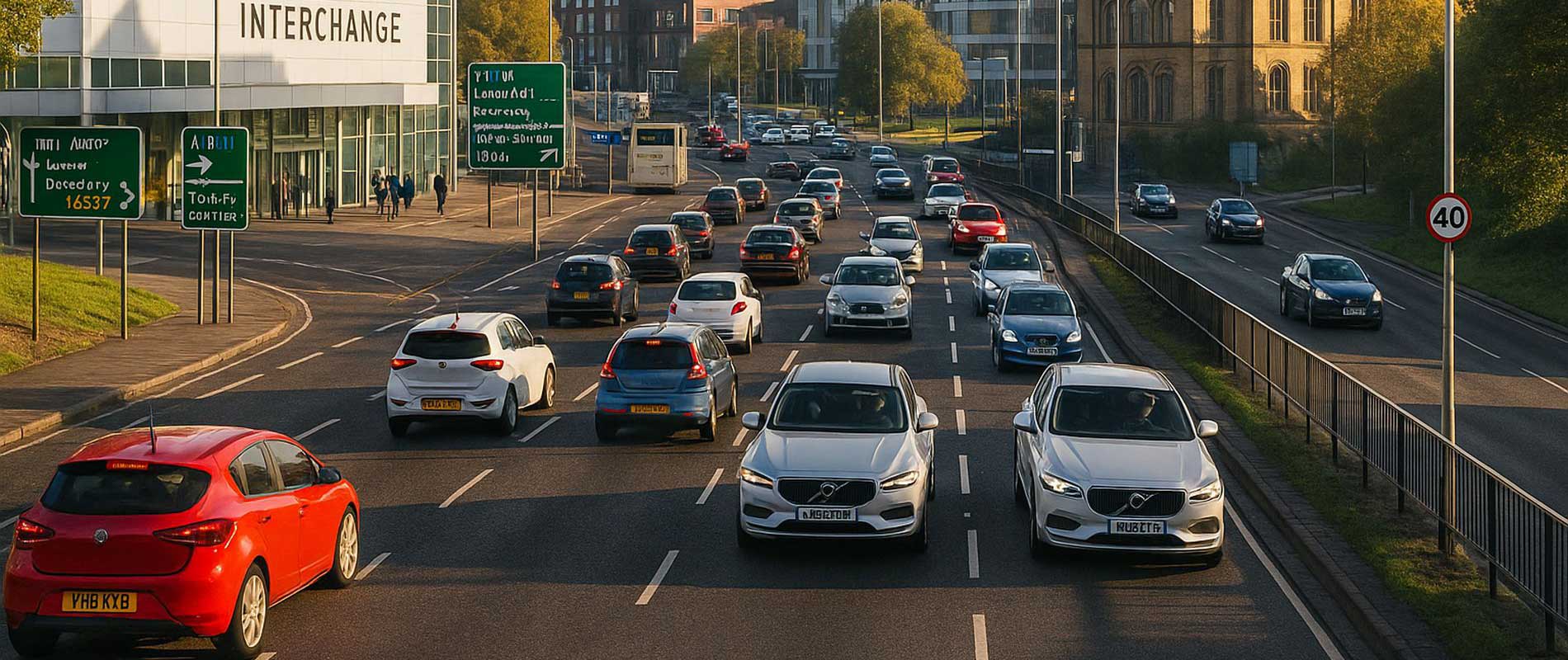
Barnsley sits between Sheffield and Leeds, feeding constant traffic onto the M1 and A628. Peak-hour queues near Stairfoot and Dodworth add to local claim numbers. More movement, more exposure; it’s a simple formula insurers track carefully.
Parking and Neighbourhoods
Central terraces in Worsbrough and Kendray often rely on roadside parking. Suburban areas such as Pogmoor and Silkstone Common, with private drives, show lower risk patterns. Parking habits remain one of the biggest local cost indicators.
Weather and Topography
Being close to the Pennines, Barnsley gets colder, wetter winters than lowland towns. Frost and fog make the higher roads slippery at dawn. It’s not extreme, but insurers read it straight from the statistics.
Traffic and Driving Conditions
Retail and industrial traffic along the ring road adds to congestion. Minor scrapes in car parks form much of the city’s claim count. Rural outskirts to the west show far fewer incidents overall.
The Local Summary
Barnsley’s insurance figures follow the land: steady traffic, cold hills, and practical habits. Each postcode reflects the everyday drive of a working town.