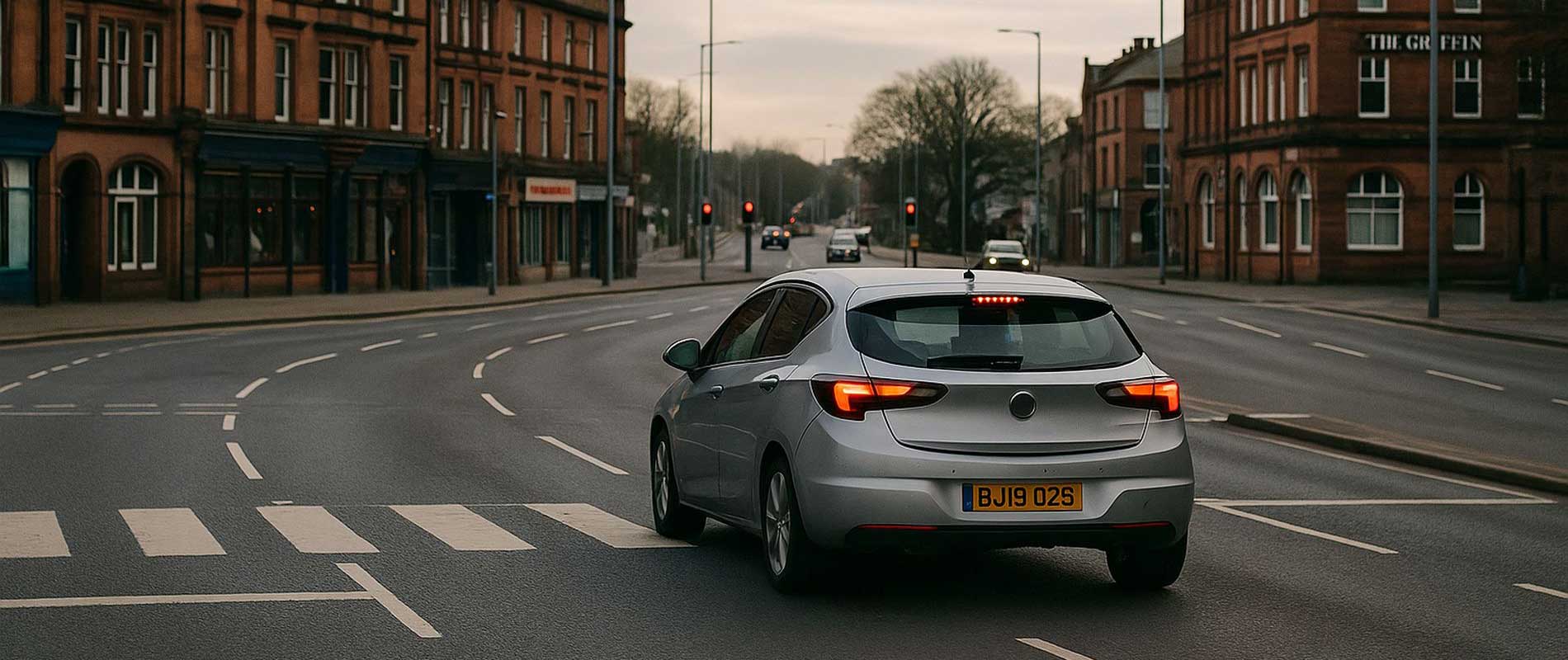
Urban and Rural Balance
Carlisle sits at the meeting point of city roads and countryside lanes, which gives it a unique risk profile. Traffic around Botchergate and Lowther Street builds up during the day, while the A69 and M6 carry fast-moving commuter and haulage traffic just outside town. The difference between those environments shapes local premiums.
Parking and Vehicle Safety
Central terraces around Denton Holme and Stanwix rely mainly on on-street spaces. Cars kept overnight in private drives or small garages on the outskirts, near Dalston Road or Morton, enjoy lower risk assessments. Security and visibility matter in a city that mixes residential and industrial zones so closely.
Weather and Seasonal Conditions
Northern winters can be harsh. Ice and fog on routes towards Brampton and Wetheral increase accident frequency, and insurers monitor those patterns closely. It’s not that Carlisle is dangerous; it’s just exposed to more days of slippery roads than most southern towns.
Local Geography
The River Eden occasionally pushes water levels high, but flood defences now limit the impact. Still, insurers keep the records. Properties on higher ground near Currock or Upperby are rarely affected and usually get steadier pricing as a result.
Understanding the Costs
In Carlisle, geography and climate matter as much as traffic. Whether you drive through the city centre each morning or keep to rural routes, those habits leave a footprint in the local insurance data; a quiet reminder that no two postcodes behave the same way.