City Traffic and Road Layout
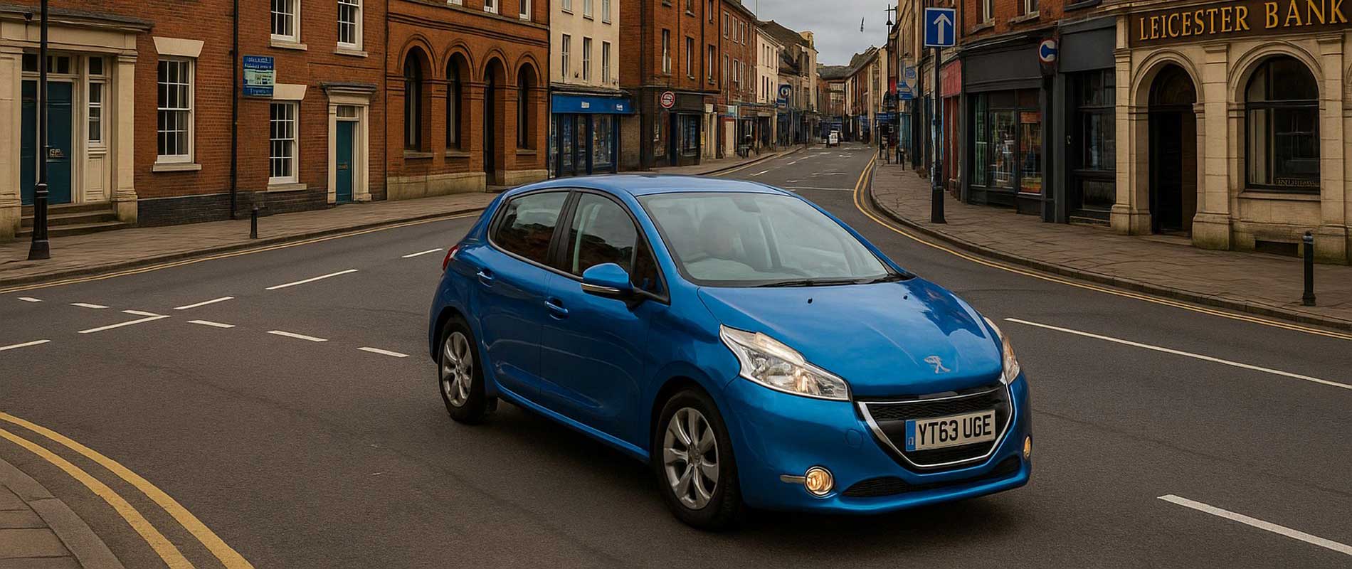
Leicester’s ring road, the A47, and Melton Road carry thousands of vehicles daily. The mix of buses, cyclists, and close-packed lanes raises collision risk during rush hour. Commuters into the Golden Mile or out towards the M1 face stop-start journeys that feed directly into insurer data.
Parking and Security
Central areas such as Highfields and Spinney Hills rely on on-street parking, which carries a higher risk of scrapes and theft. Suburbs like Oadby, Knighton, and Glenfield, where garages are common, often draw steadier prices. The difference between one postcode and another can be more than you’d think.
Local Driving Conditions
The city’s mix of narrow terraced streets and wider suburban roads creates sharp contrasts. Minor collisions tend to happen more near the centre, while rural fringes record fewer claims. Insurers keep track of every pattern across the map.
Weather and Environment
Leicester’s weather is moderate but not risk-free. Heavy rain occasionally causes surface water on Narborough Road and the Soar Valley, though major floods are rare. It’s the smaller, everyday incidents that shape the city’s averages.
Putting It in Context
Leicester’s premiums reflect its daily life: dense traffic, tight parking, and a strong commuter pulse. It’s not arbitrary; it’s the rhythm of the city translated into data.